
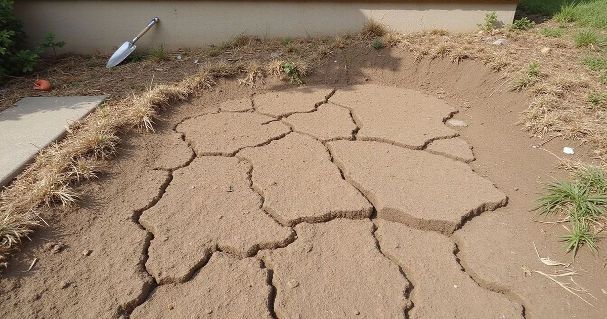
What expansive clay actually does
Clay soils with expansive minerals change volume with moisture content. When water enters, the clay swells; when it dries, the clay shrinks. That cycle happens across much of North Texas every year, and it is normal ground behavior rather than a defect.
The practical consequence for a building is that the ground supporting it is not perfectly stable over time. In a wet period the soil can exert upward pressure; in a dry period it can withdraw support. Neither is automatically a problem.
What creates problems is differential movement — one part of a foundation experiencing a different moisture regime from another. A whole house rising and falling slightly with the seasons produces very little change in geometry. One corner drying out while the rest stays damp produces exactly the kind of change that cracks masonry and puts doors out of square.
That distinction is why we talk about drainage, trees, and irrigation as much as we talk about soil type. They are what makes the moisture uneven.
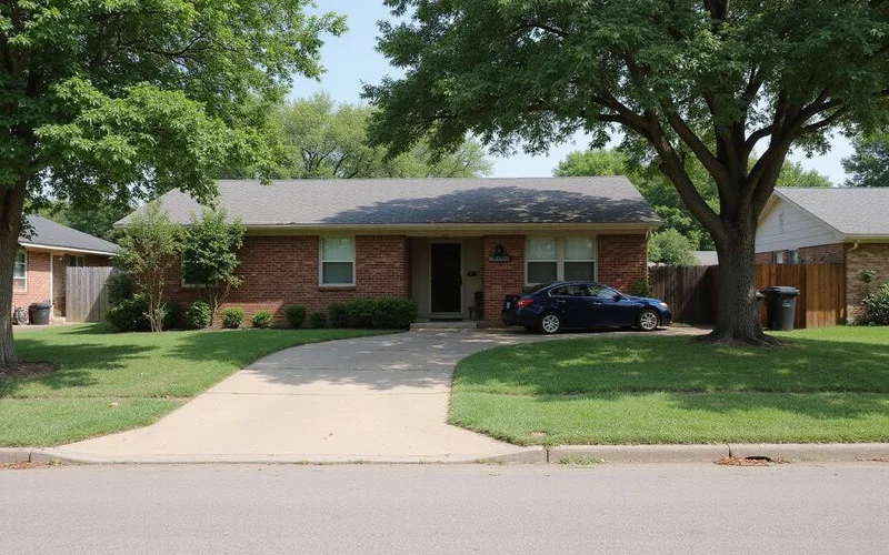
The regional picture around Fort Worth
Fort Worth sits near the meeting of several landscape regions that get referenced in local discussions of soil. The Fort Worth Prairie, the Cross Timbers, and the Blackland Prairie each describe broad physiographic areas with characteristic soils and vegetation, and the boundaries between them are gradual rather than sharp.
Within those regions, mapped soil series describe surface soil characteristics. Names such as Houston Black and Heiden appear in soil survey data for parts of the area, alongside Purves, Sanger, Denton, San Saba, Slidell, Bolar, Aledo, Silawa, and Konsil depending on location. Beneath them sit geological units — bedrock formations — which are a different kind of thing described by a different kind of map.
Both are legitimate and useful context. Neither is a statement about your house.
The limit worth remembering
Landscape regions and mapped soil units describe patterns across an area. A regional boundary does not establish what lies beneath one individual property, and no map produces a condition score for a building.
Soil series and geological units are not the same thing
This confusion turns up constantly, so it is worth being explicit.
A soil series describes the surface soil: its texture, its behavior, its typical profile in the upper few feet. It comes from soil survey work aimed largely at agriculture and land use.
A geological unit describes a rock formation beneath the soil, mapped by geological survey work at a very different scale and for very different purposes.
A property can sit on a mapped clay series above a limestone unit, and both descriptions are correct. Knowing the series tells you something about the soil near the surface. Knowing the unit tells you something about what may be at depth. Neither tells you the depth to competent bearing material at the corner of your house where a pier would go.
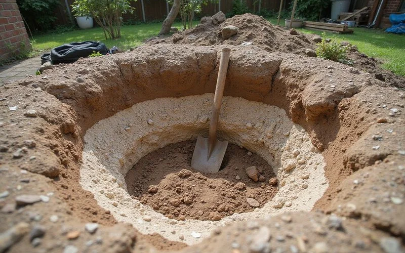
Why we will not write neighbourhood rules
You will find claims online that every home in a given suburb sits on sand, or that a particular area has deep clay, or that houses near a rock outcrop do not move. We will not repeat any of them.
Three reasons. First, mapping is produced at a scale where a single residential lot is a very small feature, and a lot can straddle a boundary. Second, construction changes the site: fill gets imported, ground gets cut and filled during grading, and what is under a house is frequently not what was there before it was built. Third, the factors that produce differential movement — trees, drainage, irrigation, plumbing, additions — vary house by house regardless of what is underneath.
Regional soil context helps you understand why foundation movement is a live topic in North Texas. It does not tell you whether your house has a problem.
What actually answers the question for your property
Measurement. A foundation evaluation records relative elevations across the house, documents the interior and exterior observations, and looks at the site conditions that influence moisture: grade, roof water discharge, irrigation, tree proximity, and any evidence of previous work.
That produces evidence about the specific building. Where the picture is unusual or the proposed scope is large, site-specific geotechnical investigation — actual borings — can establish subsurface conditions that no published map can.
If you want to go further into how published mapping should and should not be read, the companion guide on reading Fort Worth soil and geological maps covers sources, scale, and the limits in detail.